Length: 26 km
Duration: 9:55
Total ascent/descent: 896/-841 m
Max/min slope: 18%/-12%
Wayfinding: easy to medium, map is still essential
Weather: mostly sunny with some clouds, overcast evening, shorts
Dinner: takeaway delivered to campsite, details from Lovelymeregis
Overnight: Berries Farm Camping
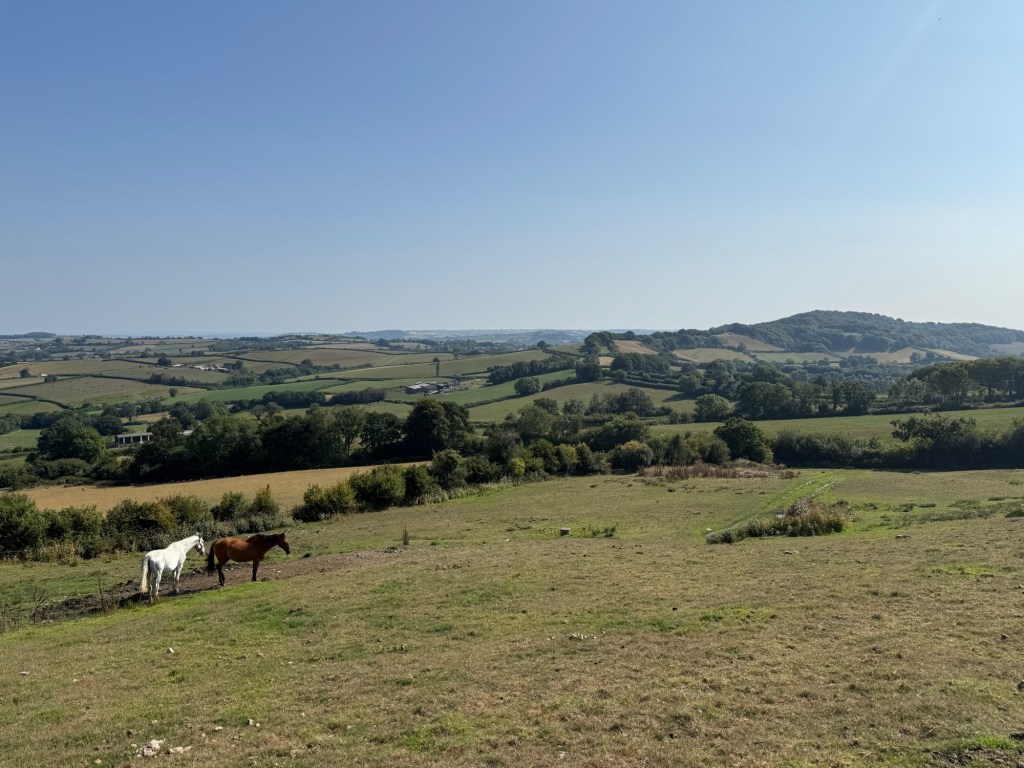
A long and hard day, with multiple climbs.
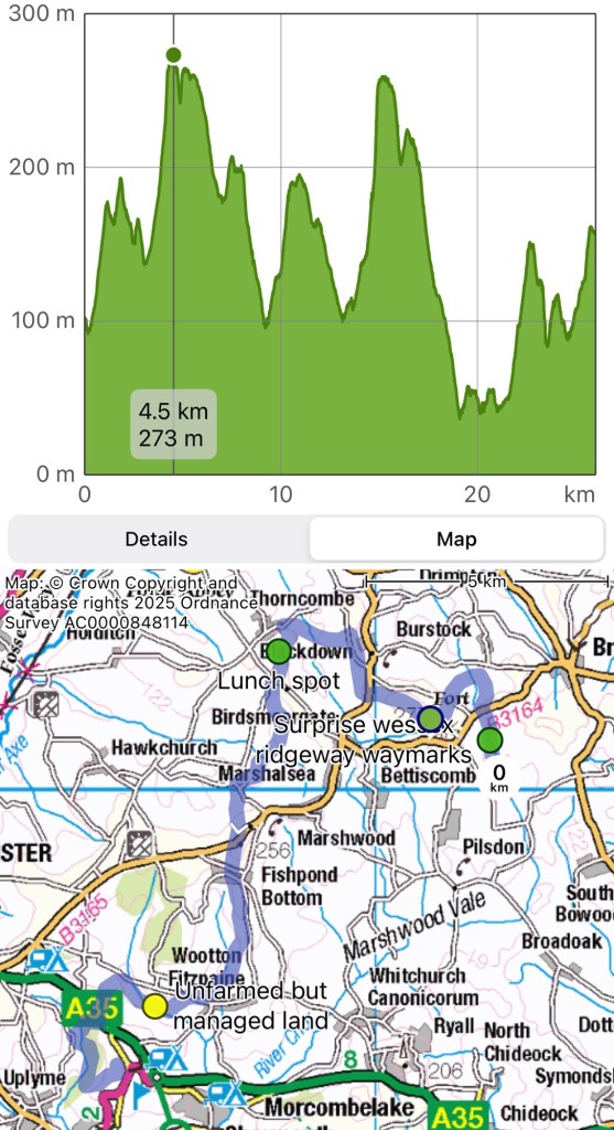
From Laverstock Farm, we walked back north to rejoin the Ridgeway via a bridleway and saw many WR way marks, suggesting the current WR route had changed and was different from OS maps. This could also explain the weirdness we saw near Up Cerne.
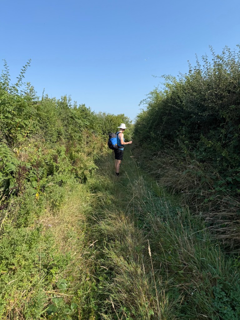
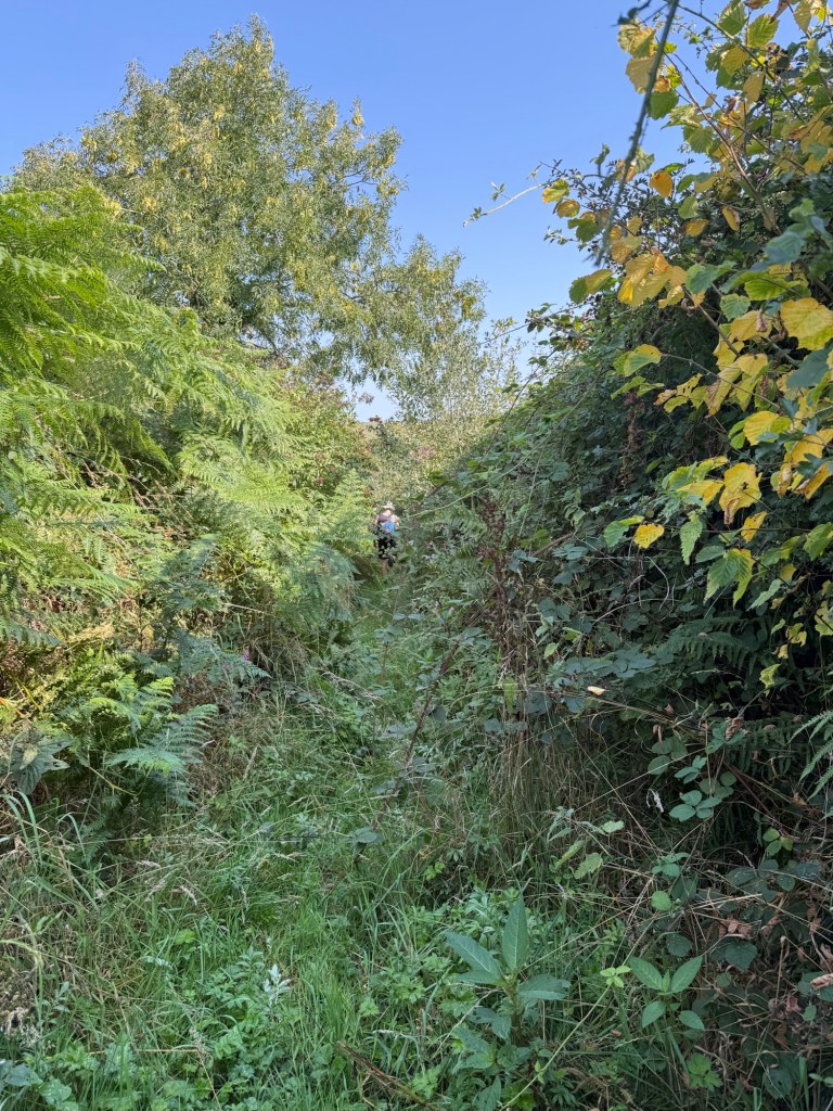
Sheepwash Lane
A name that should have a story behind it.
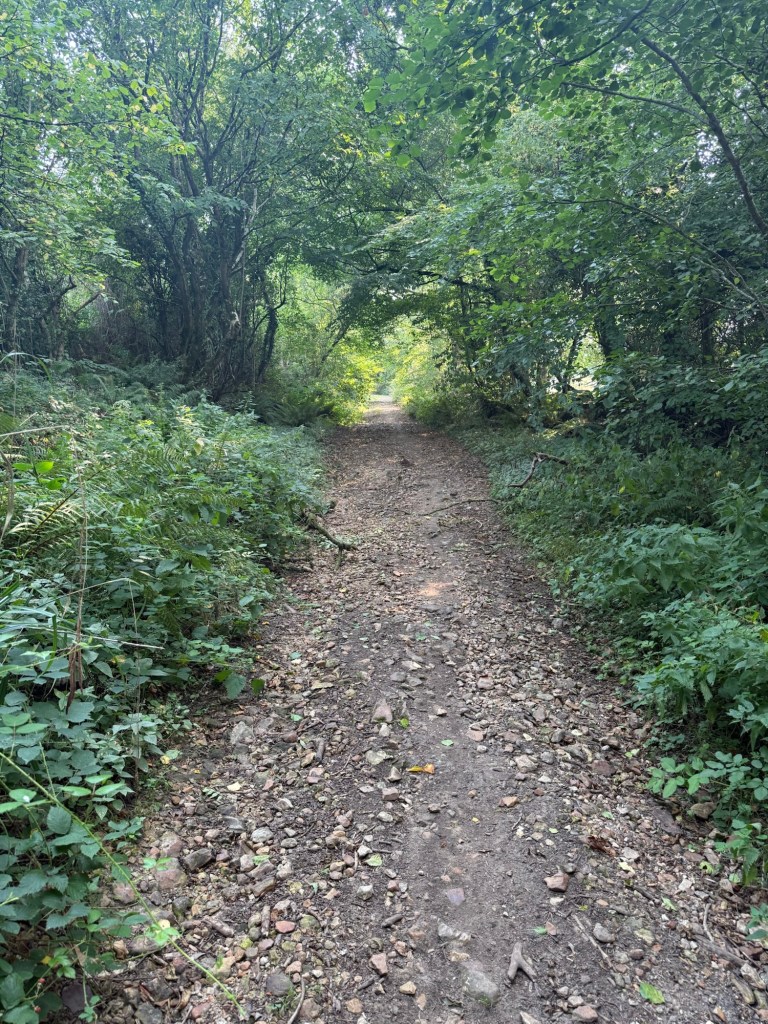
It was behind gates that were tied, presumably because Courtwood Farm, whose land the lane was on, had forgotten to untie it after funnelling cattle through it. We jumped the second gate to get into the lane.
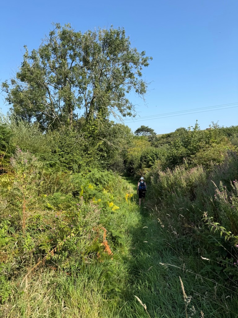
It was overgrown. The first section was like a tractor lane, before narrowing to footpath width. Then it widened into two-tractor width, which made the whole path like a meadow, before narrowing again.
As overgrown as it was, there were not many brambles or nettle, which was good. Abundant wild flowers, including a white policeman’s-hat that I hadn’t seen before.
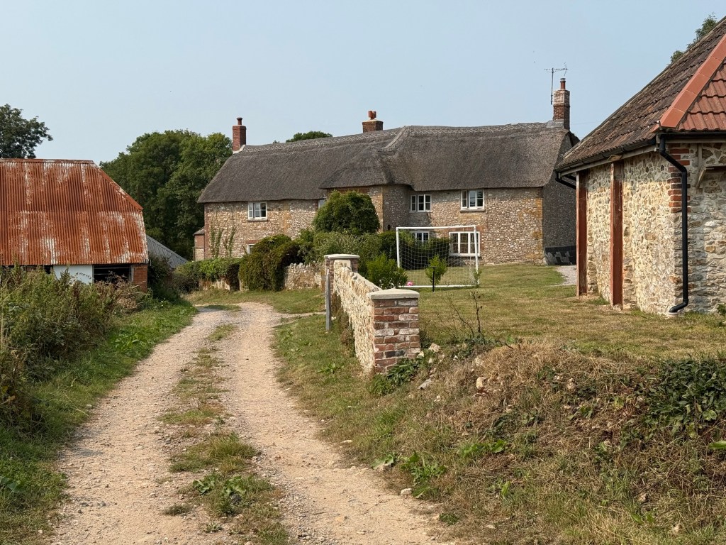
After leaving the lane, the path eventually went straight into the backyard of the farmhouse on Lower Newnham Farm.
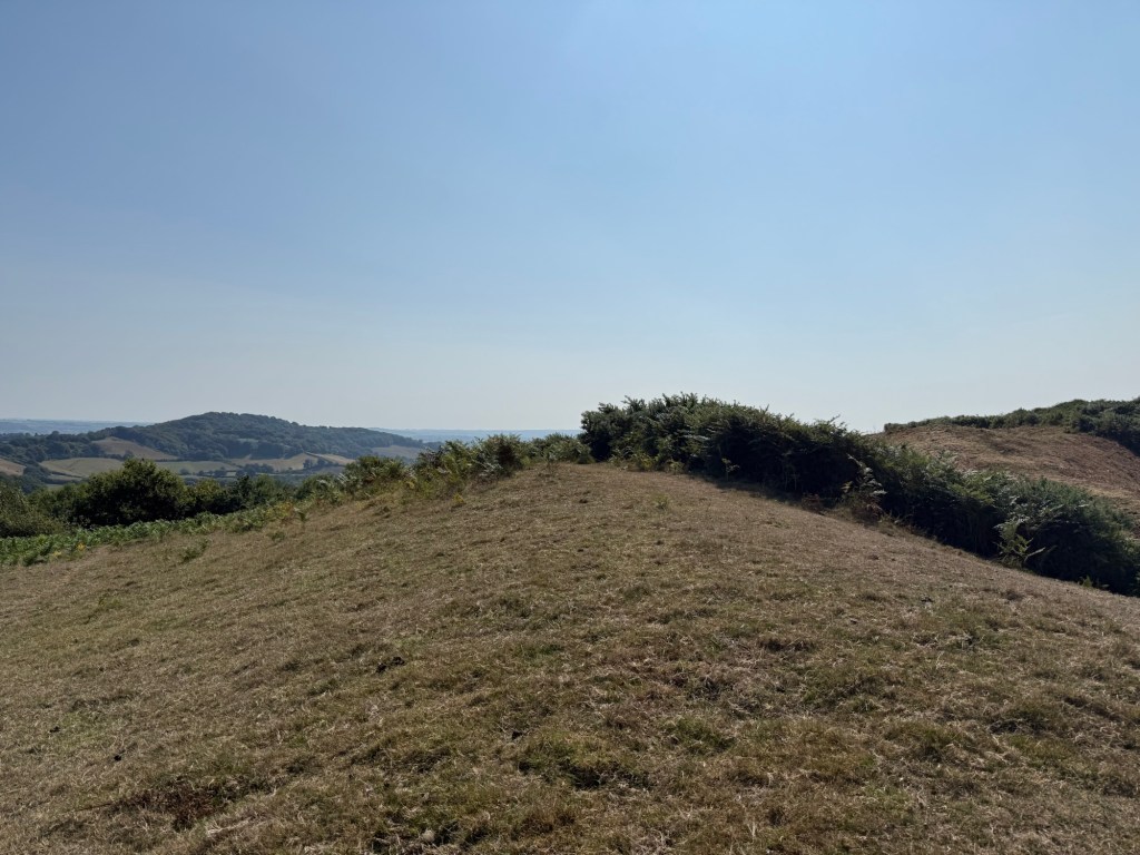
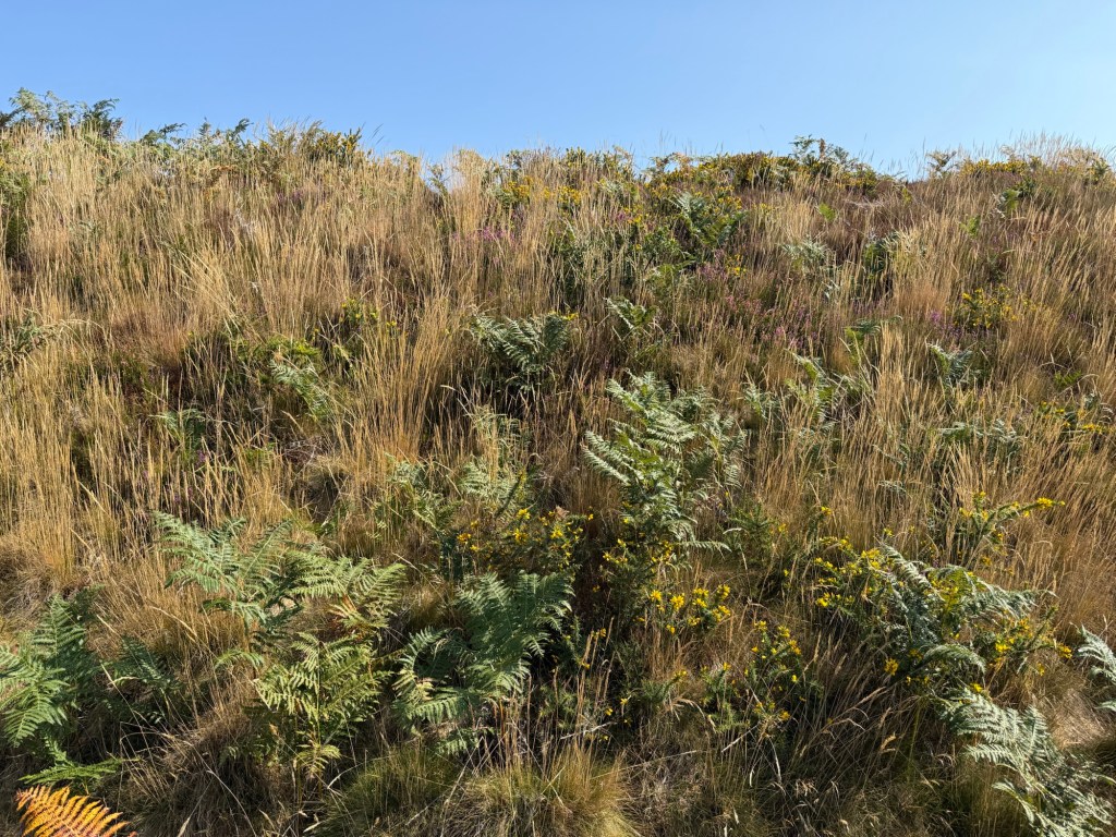
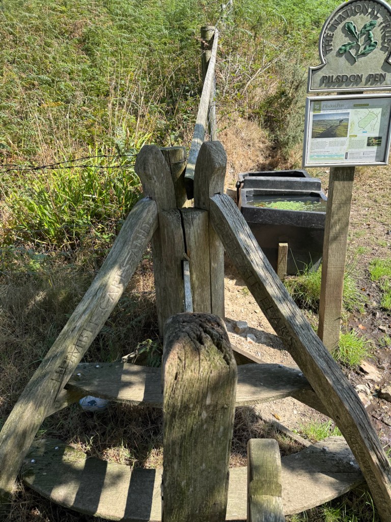
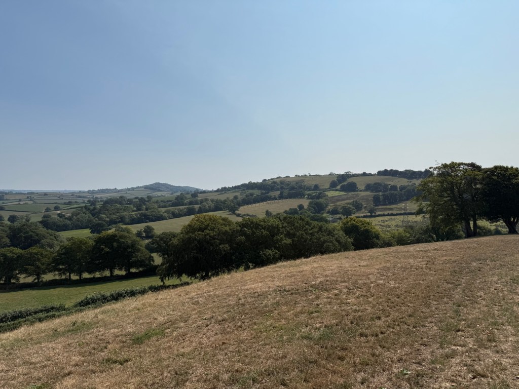
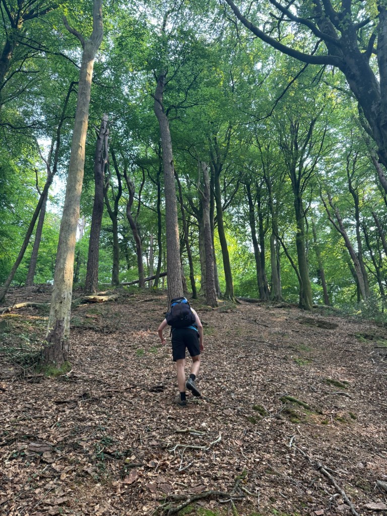
Pilsdon Pen Fort
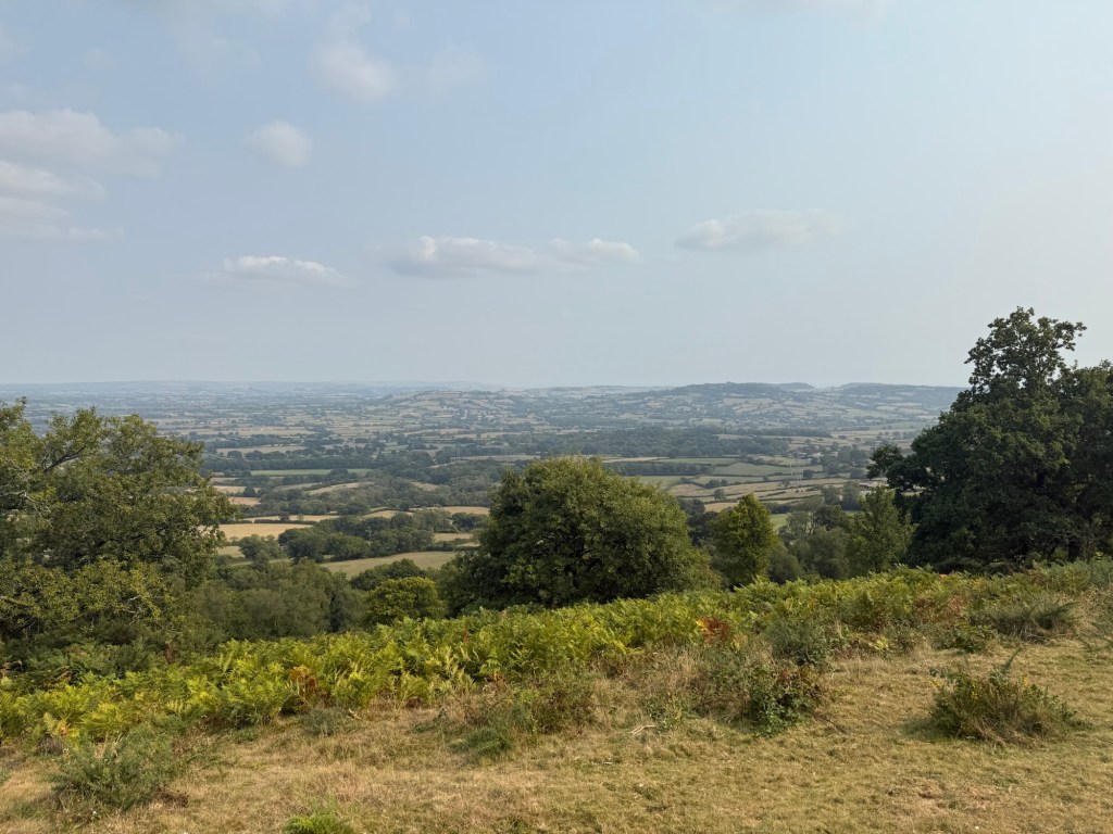
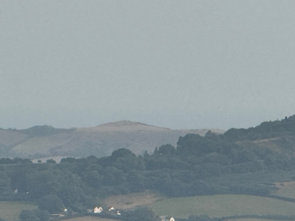
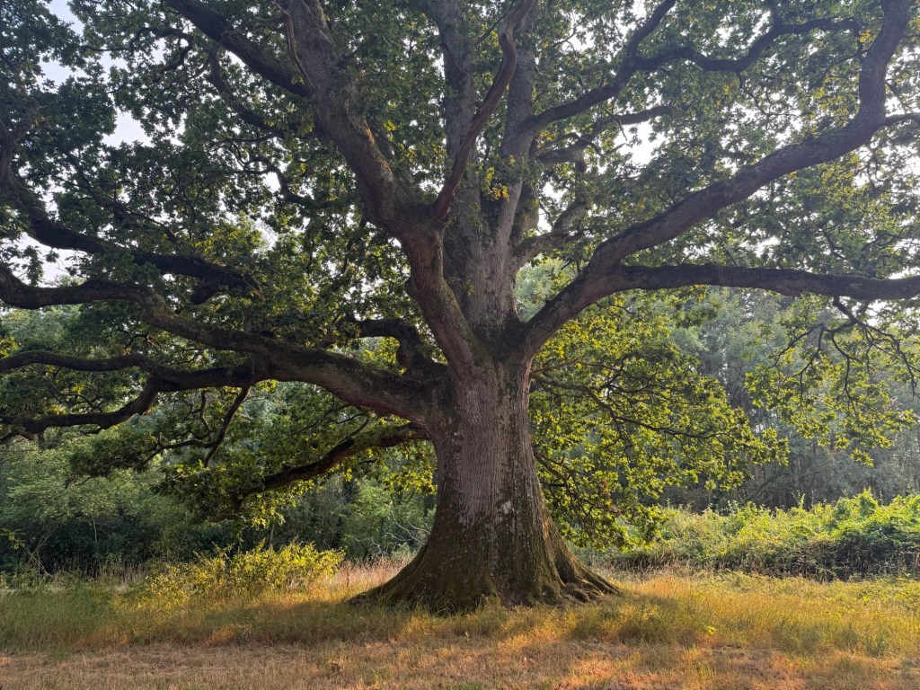
National Trust managed. The landscape is defined by bracken. The paths are between bracken. It was a prehistoric fort and another high point in the area, along with the Lewesdon Hill. Together they were known as Cow and Calf, to navigating sailors. Good views all round.
Gorse and heather were in bloom.
Blackdown Hill
Long ridge, overlooking Blackdown the village. We didn’t walk the whole length to avoid the road walking at the end of it.
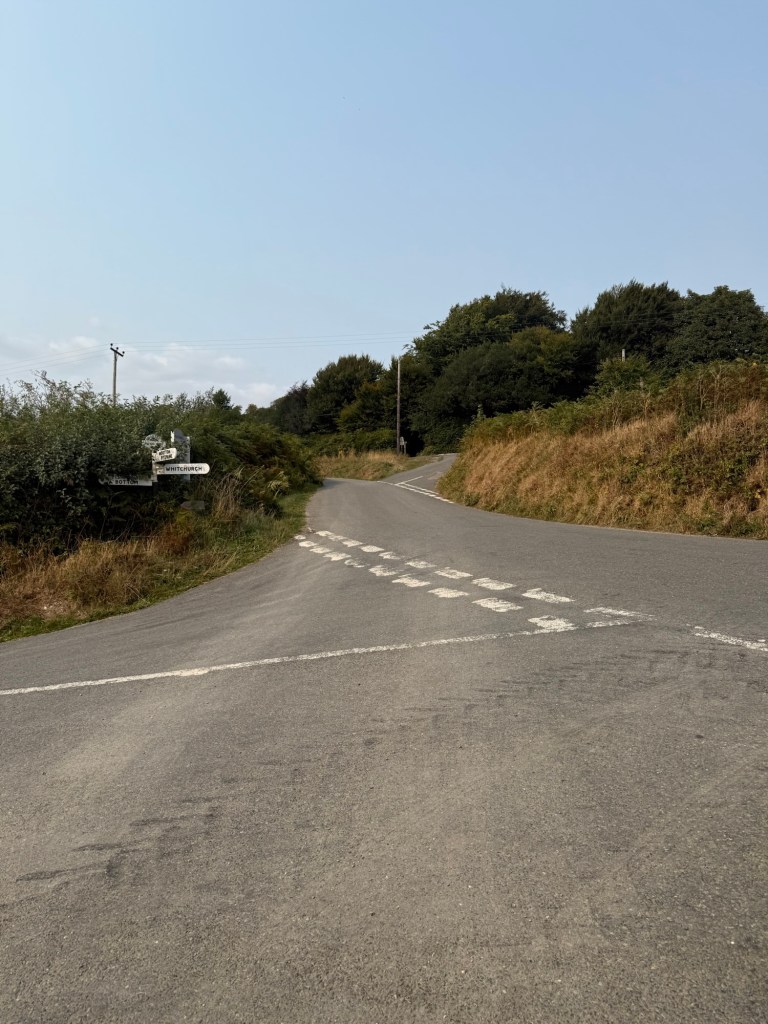
Saddle Street, Grighay Farm
Saddle Street, nondescript, a bit run down.
Grighay Farm, confusing/misleading homemade sign that made the public path seem private. This made us go through the farm rather than the more attractive village buildings.
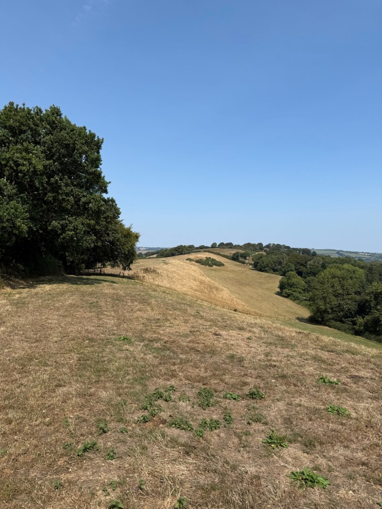
Lambert’s Castle
Steep climb to the Lambert’s Castle fort. If you get tempted by a more direct path off the official one, don’t follow it.
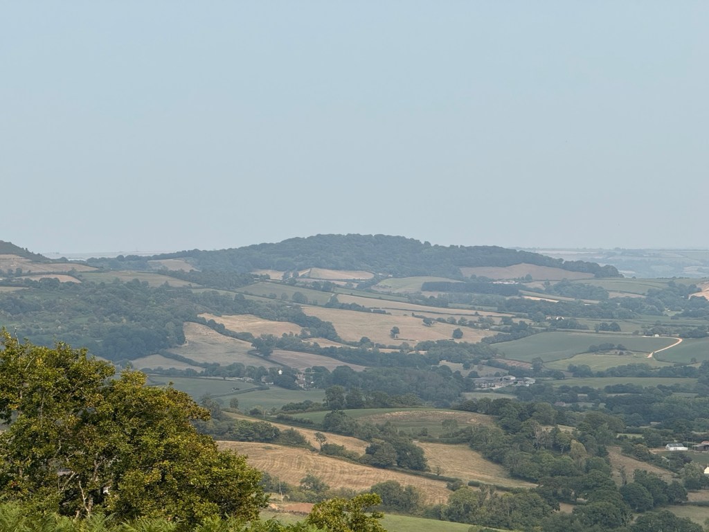
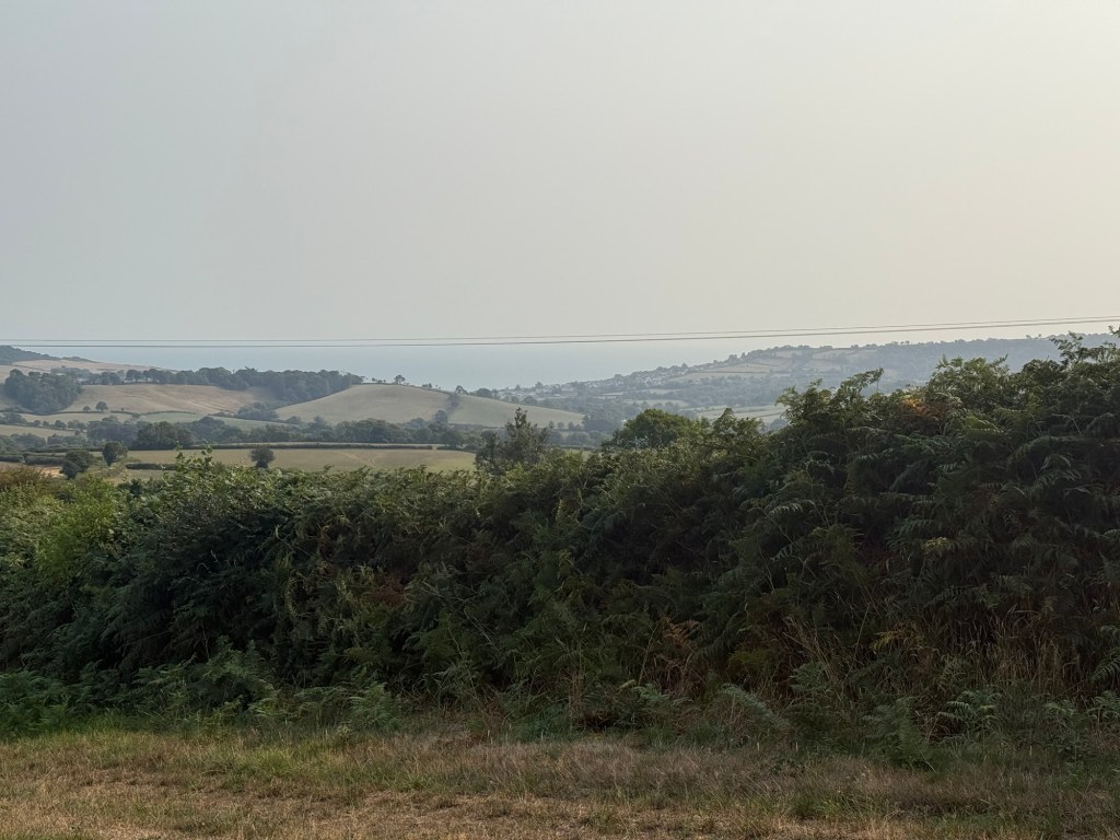
Panoramic views, south to the coast and north back to Lewesdon Hill.


Coney’s Castle
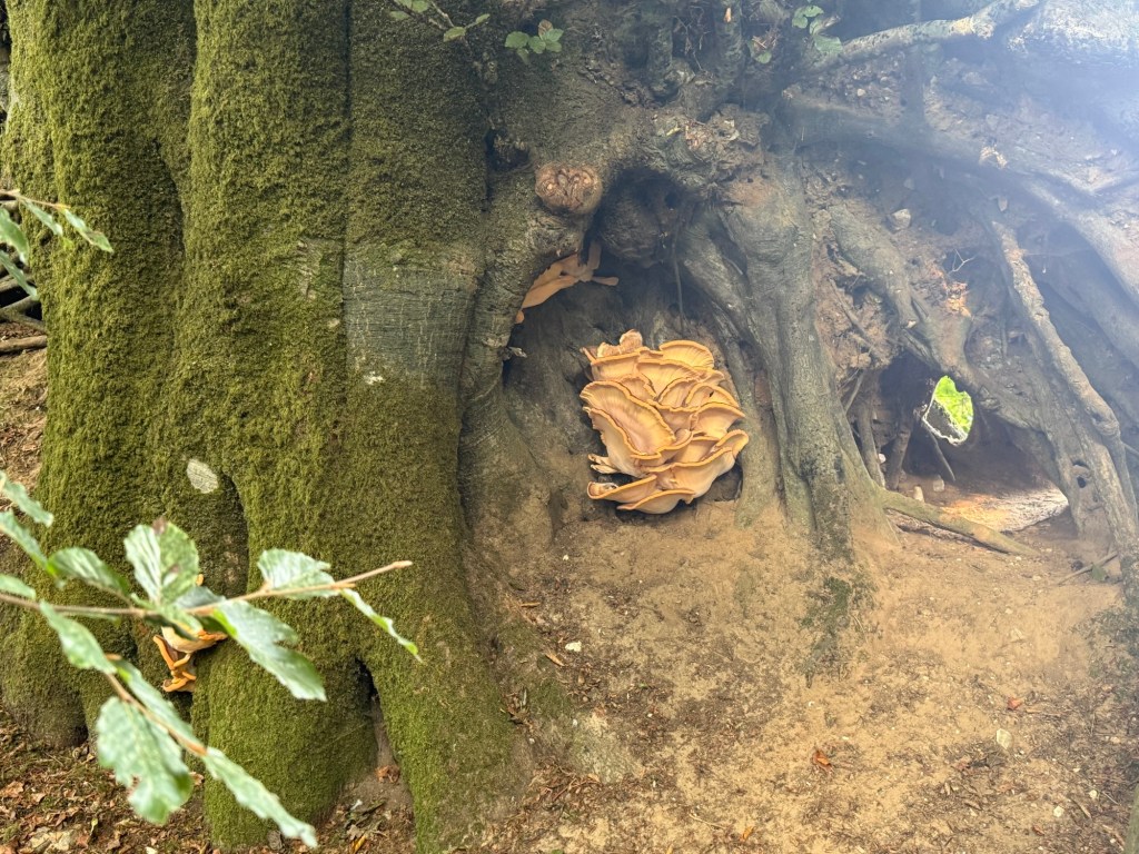
This fort was an unexpected delight. The footpath on it was a forested oasis of beech and oak.

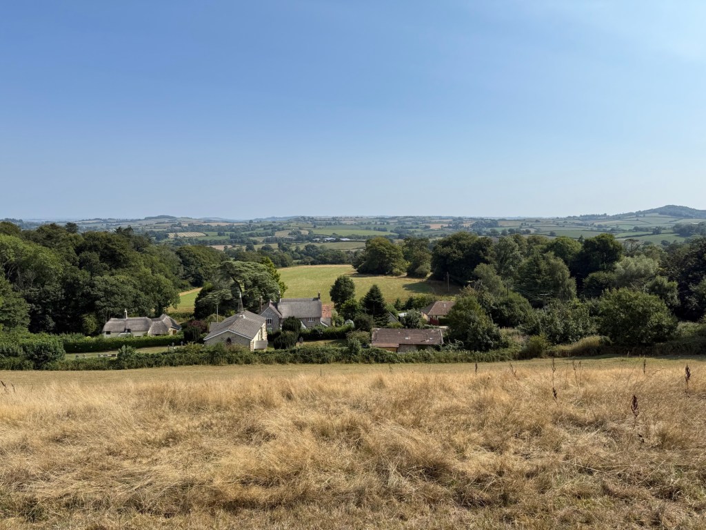
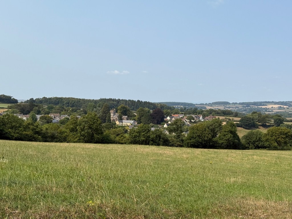
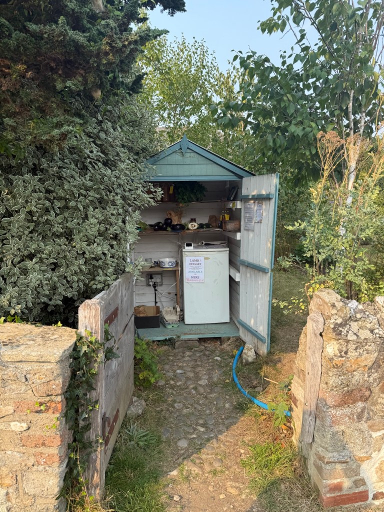
Wootton Fitzpaine
Knapp Farm had an honesty shop called the Shed Shop. We ran out of water and thankfully could buy a bottle of apple juice. They also had hoggets in a freezer. Card or cash.
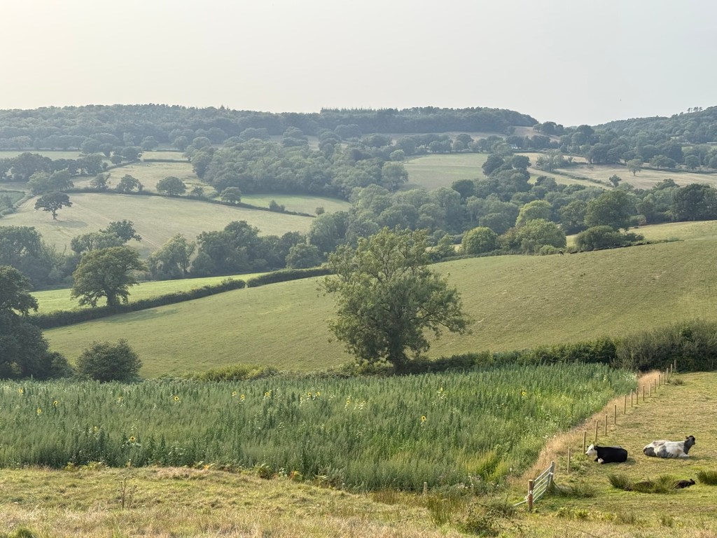
Between WF and Penn, there were some fields that were clearly managed without being farmed in any way. They were covered in soft, medium length grass. There were many old trees dotted through. It was so different from other fields that it felt otherworldly.
Hole Common
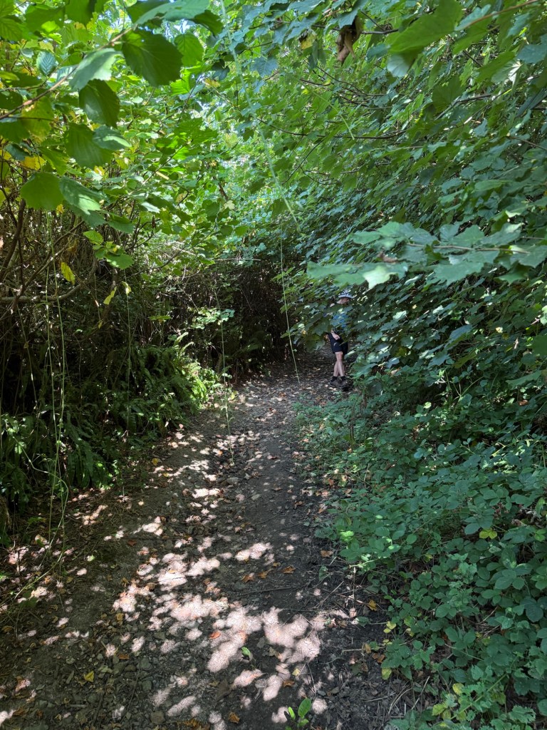
Huge woodlands, pretty overgrown and a bit wild. The southern part seemed to have been grown for logging. Very nice walk even in our exhaustion and race against sunset.
We arrived at the campsite rather late. But being close to a big fashionable town had its perks: we were able to get some takeaway delivered! Hunger averted, we rested our feet in physical contentment at least. Psychologically, I was ready for a feathered mattress rather than a squeaky air one.